Survey Equipment – All Now For Sale

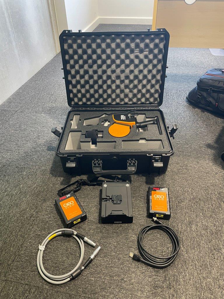
GeoSlam ZEB

geoslam zeb laser scanner with backpack and 360 camera
$78,000 (ono)

Combine laser scanned shore side infrastructure with your multibeam soundings to achieve excellence in modelling and engineering design. 

High-resolution camera to correlate visually against point cloud data.  Integrate RTK with the hand held unit, vehicle mount or backpack to get high precision and accurate colourised point cloud data.

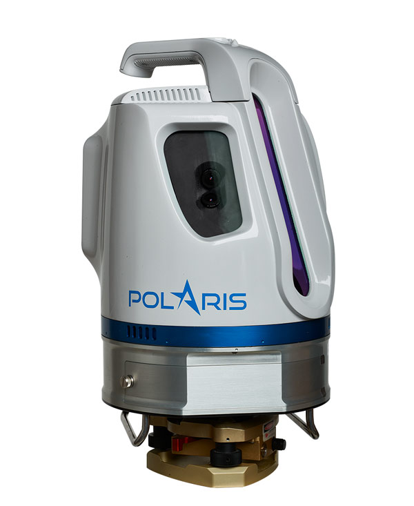
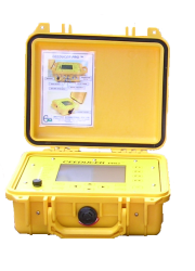
Teledyne optech laser scanner
$50,000 (ono)

Combine laser scanned shore side infrastructure with your multibeam soundings to achieve excellence in modelling and engineering design. 

High-resolution camera to correlate visually against point cloud data.  With inclinometer, compass, GPS receiver, and weather-proof housing, the Polaris can be deployed for static or mobile acquisition.

The Teledyne Optech Polaris TLS delivers accurate and precise data fast, bridging the gap between small, light-weight, short-range sensors and large, long-range, pulsed time-of-flight scanners.

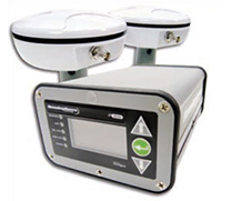
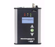
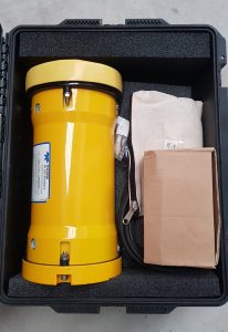
Hemisphere R220
$5,100 (ono)

Real Time Kinematic (RTK) receiver.

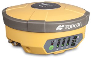
TOPCON HIPER V - 2 units
$20,000 (ono)

Digital radio base and rover. GPS and GLONASS enabled.

FC-5000 Tablet available and can run the PS103A and the Hyper V – $3,300

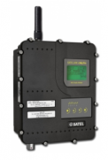
Satelline easy pro 25w base station radio modem
$4,300 (ono)

Enabling the transmission of base station corrections to approx. 20km

Provision of an additional long range antenna Rojone Antenna: High Power, Wide Band TX450-470Mhz 6dB Desc: 009001001458 + 009001001539 Rev: b for $300

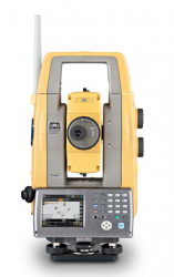
PS103A Total Station

Topcon PS103A
$15,000 (ono)

Robotic / reflectorless 3” total station capable of up to 1000m in reflectorless mode.

FC-5000 Tablet available and can run the PS103A and the Hyper V – $3,300

Commercial AMSA 2C Vessel For Sale
Use for Survey / Dive / Fishing or ...

Vessels supplied to suit various water conditions and project size. From one-person launch, to vessels for coastal survey. We charter vessels as required but generally, our fleet of small craft are more than capable.

Software - All Now For Sale

HCSurvey utilise a range of specialised software to acquire and integrate your data which include but are not limited to:

HYPACK 2023

Provides a single data logging, processing and plotting software for multiple hydrographic equipment.
Singlebeam and processing.

CARIS HIPS/SIPS v11.4

Processing software for multibeam and singlebeam data, providing client presentations and deliverables.